

The Fremont area is expecting another dose of winter weather Thursday.
Taylor Nicolaisen, a meteorologist for the National Weather Service in Valley, said some light snow is expected tonight.
“I think a lot of us are going to get a dusting, probably around supper time or thereafter,” he said. “That is just kind of an appetizer. There is a better opportunity for snow (Thursday) in the afternoon and evening. That is going to bring one to three inches for an area north of Interstate 80.”
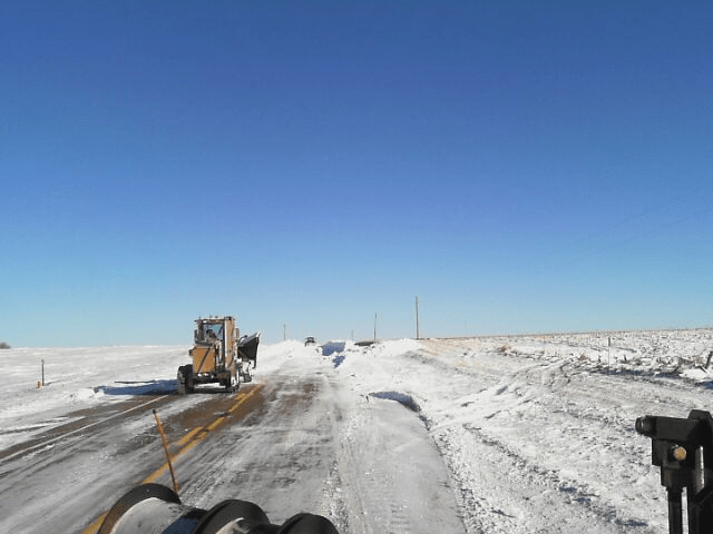
Nicolaisen said the major issue will be blowing snow — much like the area experienced with last week’s storm.
“Winds will be 15- to 20 miles-per-hour and maybe a little bit stronger than that at times,” he said. “The snow will be real light and fluffy causing reduced visibility and drifting. We do expect some blowing around so travel could become difficult Thursday evening.”
Nicolaisen noted that a wind chill advisory is in effect for Thursday night into Friday. He said wind chills will be 20 degrees below zero, possibly even 30 below.
“It will be even colder on Saturday,” the meteorologist said. “Friday night into Saturday will probably be another 10 to 15 degrees colder for those wind chills so we’re going to be flirting with 40 below again by Saturday morning. More arctic air is on the way. Saturday morning we’ll be 20 to 25 below zero and that is just what the thermometer will say so any wind at all will knock that down.”
There is a bit of a reprieve in the extended forecast with temperatures in the 20s forecasted for Sunday.
“We should actually melt some of the snow in the early part of the week,” Nicolaisen said. “Monday, Tuesday and Wednesday should sneak up above freezing a couple of degrees each afternoon so we’ll see some improvement on the roads and sidewalks.”